US East Coast Ship Speed Restrictions - Right Whales

Steamship Mutual
Published: October 01, 2008
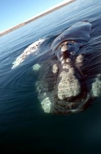
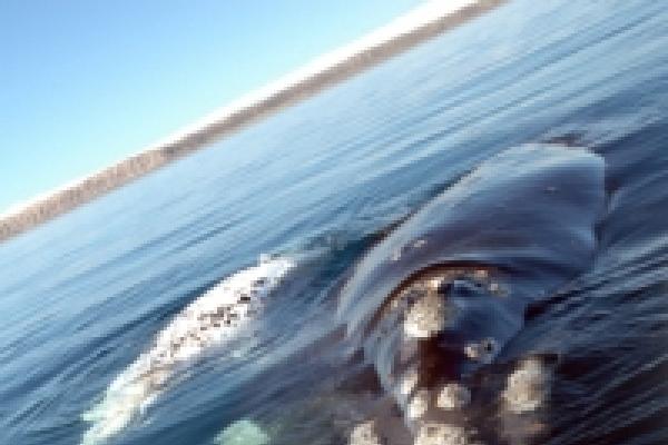
In a move to protect the dwindling number of North Atlantic Right Whales from being hit by vessels off the east coast of the United States the United States National Marine Fisheries Service (NMFS) has introduced new regulations know as the ‘Ship Strike Reduction Rule’.
These regulations reduce the speed of vessels that are 65 feet (19.8m) or longer to 10 knots in areas where Right Whales gather to feed and give birth they also apply on the approaches to ports situated on the whales’ migration route, the speed restriction applying in the various areas at various times and places dependent on Right Whale occurance. Vessels are exempt from the requirements of the regulation in the event of poor sea or weather conditions such as to ensure safe vessel manoeverability.
These regulations are due to come into force in early December 2008 and will only be in place for 5 years unless the National Marine Fisheries Service can show that the speed restriction is having a postitive affect on the number of Right Whales remaining off the US East Coast.
The areas along the United States east coast affected and the dates when the mandatory speed restriction will be in force are as follows:
Northeast United States
Cape Cod Bay
Time: 1st January to 15th May.
Area: The entire bay, including the Cape Cod Bay critical habitat and
the area directly west of the critical habitat to the shoreline.
Off Race Point
Time: 1st March to 30th April.
Area: An area approximately 50 by 50 nautical miles (93 by 93 km) in
size to the north and east of Cape Cod.
Great South Channel
Time: 1st April to 31st July.
Area: Within a defined area of the Great South Channel, with the
furthest distance from shore of about 170 nautical miles.
Mid-Atlantic United States
Six areas from New York to North Carolina, as defined below:
Time: 1st November to 30th April.
Areas:
1) 30 nm (56 km) wide rectangular area south and east of the mouth of
Block Island Sound.
2) 20 nm from shore for the Port of New York/New Jersey.
3) 20 nm from shore around Delaware Bay.
4) 20 nm from shore around Chesapeake Bay.
5) 20 nm from shore around Morehead City, North Carolina.
6) 20 nm from shore around Beaufort, North Carolina.
Ports of Wilmington, Georgetown, Charleston, and Savannah.
Time: 1st November to 30th April.
Area: One continuous area extending from the shore outward to 20 nm
(37 km) from Wilmington, North Carolina, south to Brunswick, Georgia.
Southeast United States
Time: 15th November to 15th April.
Area: Off the coasts of Georgia and Florida, bounded to the north by
latitude 31º27'N, to the south by latitude 29º45'N, to
the east by longitude 80º51.6'W, and to the west by the
shoreline. The area extends about 25 nautical miles offshore.
Full details including maps of the affected areas can be obtained from the US National Oceanic and Atmospheric Administration website at: http://www.nmfs.noaa.gov/pr/pdfs/shipstrike/finalrule_factsheet.pdf